
How it works
From the cave entrance to a finished sketch
Here’s a survey trip with Subterra Vector, step by step. Practice it at home first, so it feels familiar underground.
-
Step 1
Learn on the practice cave
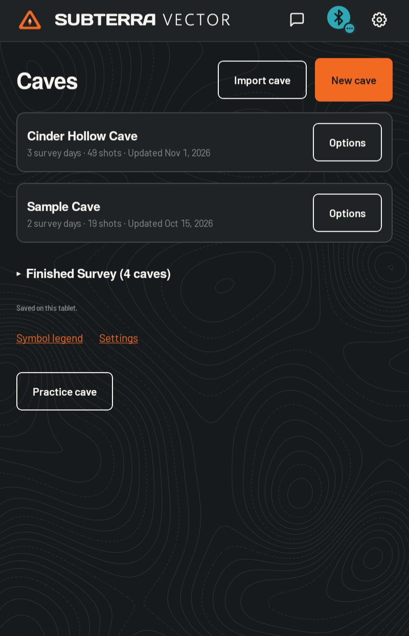
Before your first trip, open the practice cave. A step-by-step tutorial walks you through shots, the line plot, and sketching, with a practice survey device, so you don’t need any hardware.
-
Step 2
Start a cave
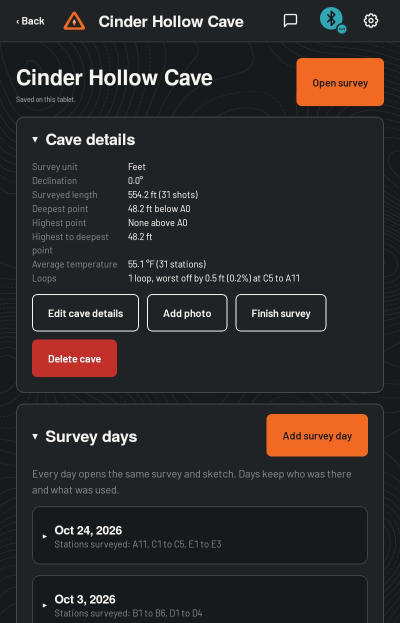
Give the cave a name and its details. Entrance coordinates are optional, and they stay private on your tablet. Add a survey day with your team, and every day after opens the same survey and sketch.
-
Step 3
Connect your survey device
One search finds supported survey devices over Bluetooth. The icon in the top bar shows the connection and battery. Forgot the device, or it ran flat? Type shots by hand and keep going.
-
Step 4
Take your shots
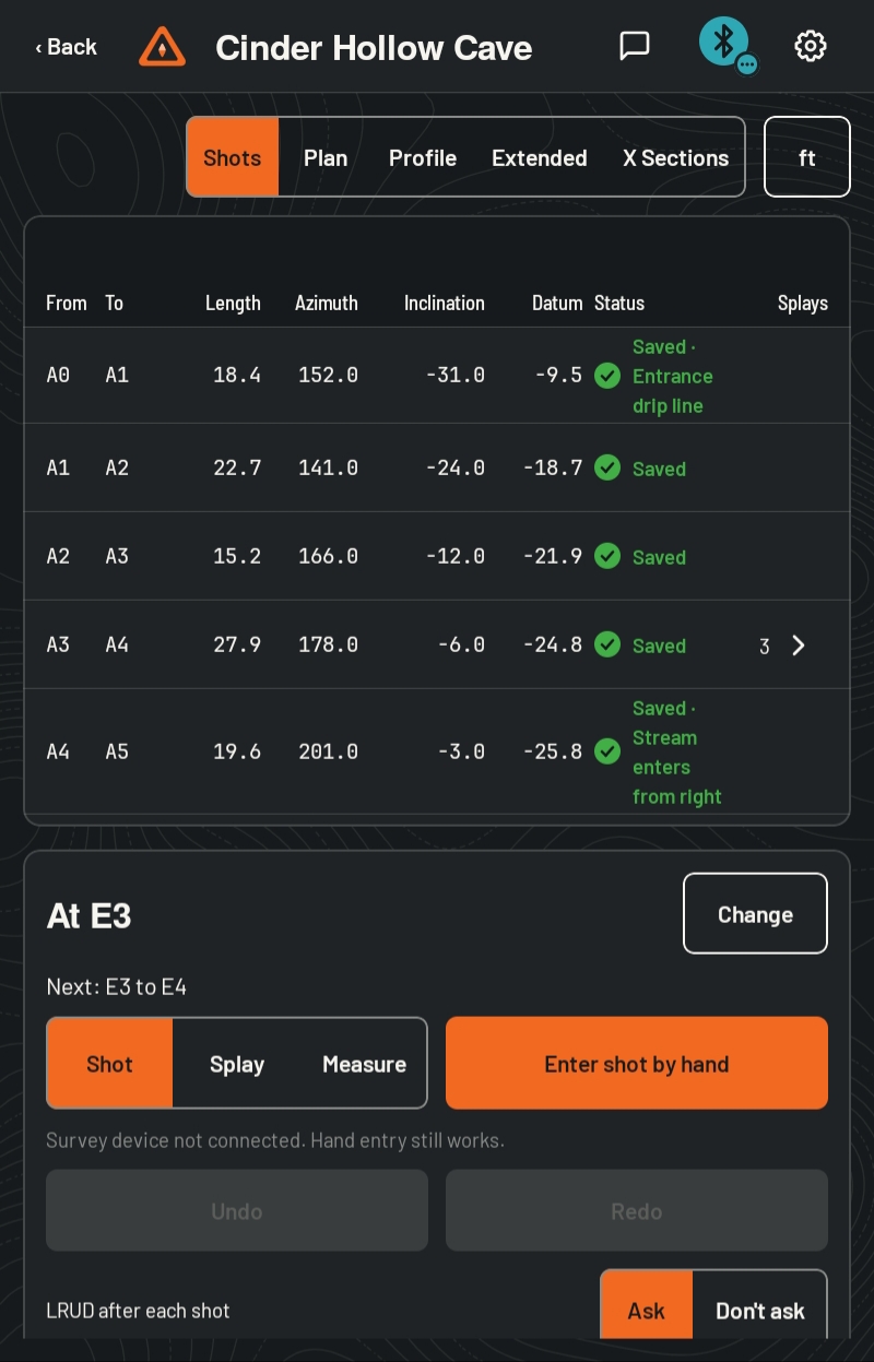
Each shot lands in the shot table as you take it. After each one, the app asks for left, right, up, and down, so your passage walls are recorded as you go. Switch to splays or a quick measurement any time.
-
Step 5
Check as you go
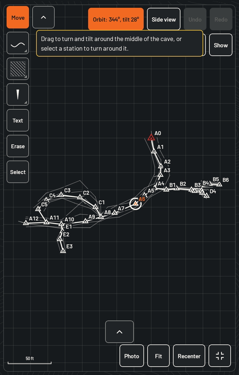
The line plot draws itself while you survey. Suspect shots are flagged, and loop closures show how far off they are, so you can reshoot before you leave the passage.
-
Step 6
Sketch the passage
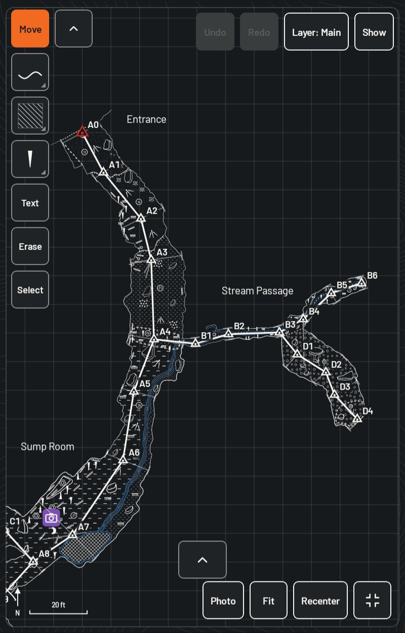
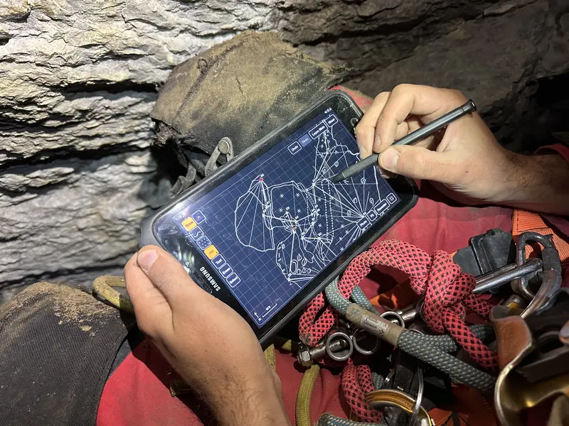
Draw over the live line plot with a stylus, in the plan, the extended profile, and cross-sections. Add symbols, fills, text, and layers. Everything is saved as you draw.
-
Step 7
Back up and export
Back at the car or at home, save a backup. Then export the survey to your survey program and the sketch as layered SVG, ready to draft.
Tips for your first trips
- Carry a paper book as a backup on your first trips with a new tool. Many surveyors do.
- Back up after every trip, and keep a copy somewhere other than your tablet.
- Charge your tablet and your survey device the night before.
- Run through the practice cave once more before you go.
Get updates
Subterra Vector is coming in 2027. Email us and we’ll let you know when it’s ready.
info@subterraops.com
We use your email only for launch news. Reply any time to unsubscribe. Read our privacy policy